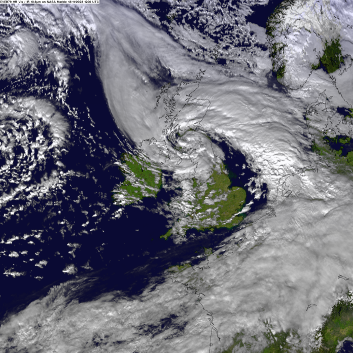
One of the wettest winters ever was made ten per cent more likely and 20 per cent heavier by climate change according to a group of meterological scientists
During the autumn and winter of 2023/2024, western Europe experienced a series of damaging storms. Storms of this nature are common over the European region during Autumn and Winter, being low atmospheric pressure systems that typically develop over the North Atlantic Ocean, then move eastwards over Europe bringing strong winds accompanied in cases by heavy rainfall.
The storminess of the 2023-24 season has been primarily dictated by the position and strength of the jet stream, a band of strong westerly winds high up in the atmosphere driven by temperature differences between the equator and the poles, and tends to be strongest in winter.
The position and strength of the jet stream influences how many low-pressure systems are directed towards Ireland and the UK. The strength of the jet stream, and how each individual low-pressure system interacts with it, determines whether these low-pressure systems intensify enough to become Atlantic storms.
During the 2023-24 season, the jet stream was stronger than normal, which likely contributed to how strong the storms became. Impacts of individual storms can be worsened when the soils are already very wet due to preceding sustained rainfall or a succession of storms over a similar area, leading to saturation, increased run-off and risk of flooding.
Successive floods have compounded impacts on the agriculture and housing sectors, leading to cascading impacts on socioeconomic and psychosocial health, and eroding people’s coping capacity, particularly low-income groups. Combined with the cost-of-living crisis, the successive flood events are another layer of disruption at a time when people’s financial resilience is already being tested.
In today’s climate with 1.2C of warming, stormy days with winds as intense as in the 2023/24 season occur about every 4 years. The associated precipitation is expected to occur about once every 5 years. The seasonal precipitation of the October-March period was more extreme, expected to occur about once every 20 years.
The average precipitation on stormy days are observed to have become approximately 30% more intense, compared to a 1.2C cooler pre-industrial climate. Models agree on the direction of change, combining observations and models indicate that average precipitation on stormy days increased by about 20% due to human induced climate change, or equivalently the 2023/24 level has become about a factor of 10 more likely.
The observed precipitation across Oct-Mar has a strong trend, with a magnitude increase of about 25%. Climate models utilised in this study broadly agree on the direction of the change, and the combination of observation and model results indicates an increase in magnitude of 6% to 25%, or equivalently the 2023/24 level has become at least a factor of 4 more likely.


